Your Industry from New Heights.
Our innovative solutions in industrial design expand the horizons of your potential. Promaspect is pleased to introduce you to our aerial imaging service – a modern tool that will allow you to see and assess your projects from new heights, both literally and figuratively.
What is aerial imaging?
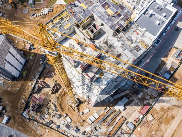
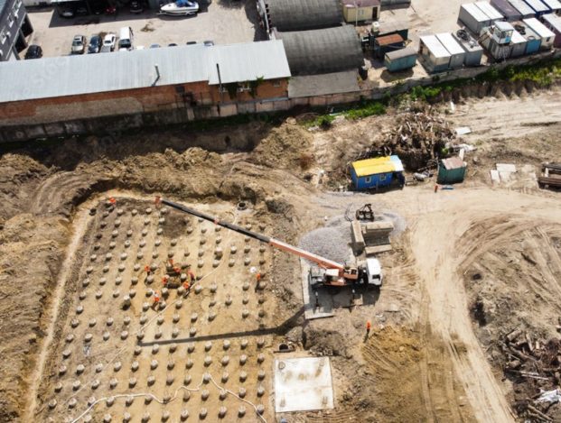
Aerial imaging is an innovative method of obtaining visual information about your industrial object using unmanned aerial vehicles, known as drones. This technologically advanced approach allows for a detailed study and analysis of objects, territories, and construction sites.
Advantages of aerial imaging:
- High precision and detail: Drones are capable of capturing high-quality images and videos with high resolution, enabling the detection of even the smallest details.
- Efficiency and time savings: Aerial imaging significantly reduces the time required to obtain information about the condition of an object or site, facilitating prompt decision-making.
- Safety and risk mitigation: Aerial imaging eliminates the need for physical presence in hazardous locations or hard-to-reach areas, thereby reducing risks and ensuring personnel safety.
- Visualization and analysis: The collected data enables the creation of three-dimensional models of objects, construction sites, and territories, facilitating visualization, planning, and analysis.
Why Choose Us?
We are a team of professionals in the field of industrial design who not only provide aerial imaging services but also have the capability to analyze and interpret the obtained data. Our approach to aerial imaging ensures maximum accuracy and reliability of information for your successful project.
Take the next step towards the innovative future of your business and take advantage of Promaspect’s aerial imaging service. We will help you see more, understand better, and achieve more in the world of industrial design.
Applications of Aerial Imaging:
- Monitoring and control of construction works.
- Assessment of the condition of industrial objects and infrastructure.
- Planning of territories and landscape projects.
- Analysis of objects before the start of design.
- Detection and assessment of damages and defects.