Accurate Measurement for Your Industrial Project
Promaspect introduces to you a crucial tool for successful industrial design – geodetic surveying. Our company possesses extensive experience and cutting-edge technology in the field of surveying, enabling us to provide precise and reliable data for your construction and engineering needs.
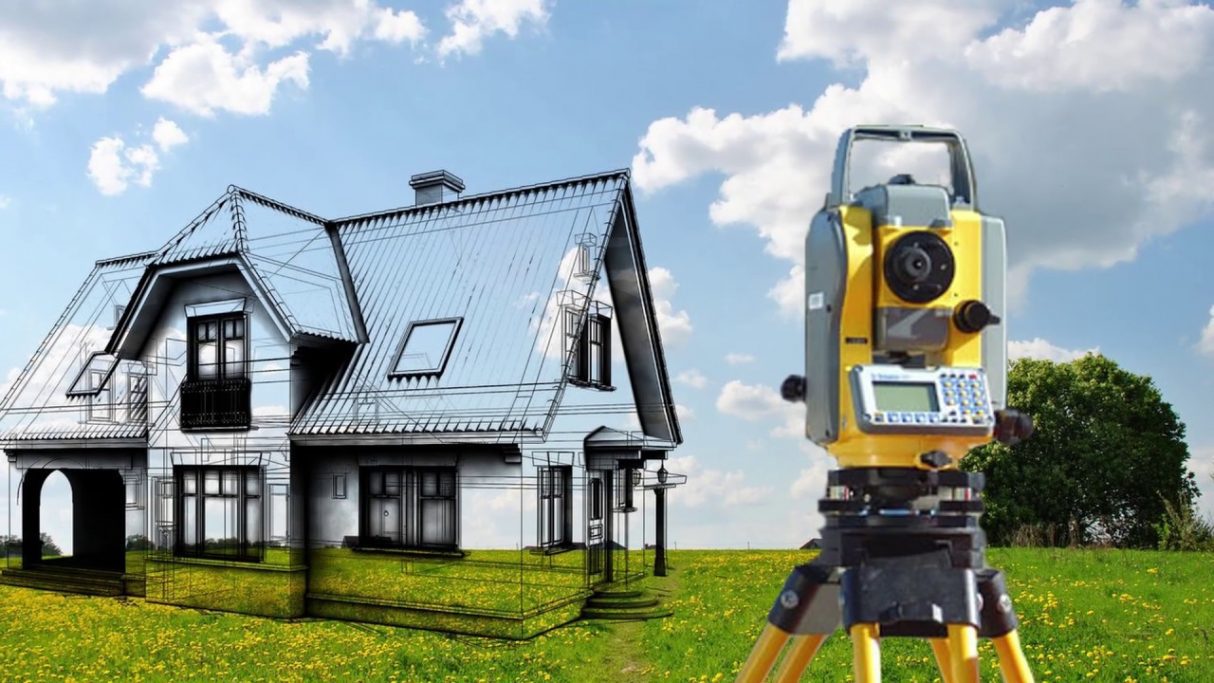
What is Geodetic Surveying and Why is it Important?
Geodetic surveying is the process of precise measurement and documentation of the geographical characteristics of the Earth’s surface and its objects. This technology allows for the creation of an accurate spatial model of terrain, objects, and infrastructure, which is a key element in design and construction.
Benefits of Geodetic Surveying:
- High Precision: Geodetic surveying provides measurements with high accuracy, crucial for proper planning and calculations in a project.
- Real-world Positioning: The obtained data allows for precise determination of the geographical location of objects on the terrain.
- Project Optimization: Geodetic information enhances project design, optimizing the placement of objects and infrastructure.
- Risk Minimization: Accurate geodetic surveying data helps prevent errors and reduce risks at all project stages.
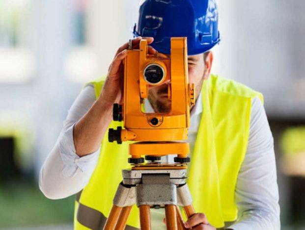
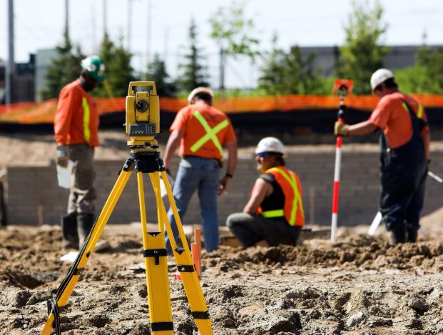
Our team of surveyors possesses professional expertise and utilizes modern equipment for conducting geodetic surveys. We are ready to provide you with a comprehensive range of services, starting from data collection and analysis to creating detailed geodetic reports and models.
Allow us to become a reliable partner in your industrial design.
With geodetic surveying from Promaspect, you will receive accurate and up-to-date information for the successful implementation of your project.